Bicycling the Lakefront Trail
Information on the Lakefront Trail: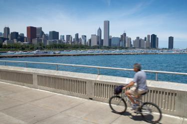
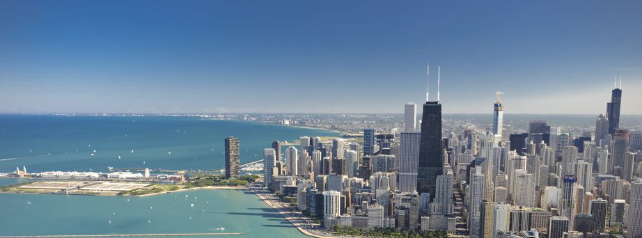
Biking the Lakefront Trail, through parks and alongside Lake Michigan beaches, is a great way to enjoy the outdoors and get the best views of Chicago. It runs 18 miles (29 km) along Lake Michigan, from the north end of Chicago to the south end. It can be accessed at Monroe St., only 0.5 miles (0.8 km) east of the Palmer House.
The Lakefront Trail runs primarily north-south and is marked by the north-south coordinates in the standard Chicago city grid, beginning at 5800 North and ending at 7100 South. Since 800 = 1 mile (1.6 km) in Chicago, this corresponds to just over 16 miles (25.6 km) north-south. Since the trail is not purely north-south, and it is not completely straight, it is about 18 miles (29 km) total.
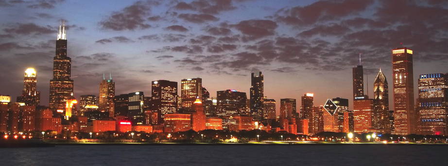
A great place to take pictures of the city skyline is near the Shedd Aquarium on the Museum Campus.
Some notable sights you can see along the Trail, starting from the north end at 5800 N:
- Waveland clock tower and Marovitz golf course (4200 N, 2.5 mi / 4 km)
- Belmont Harbor (3200 N, 3.5 mi / 5.6 km)
- North Avenue Beach (1700 N, 5.5 mi / 8.8 km)
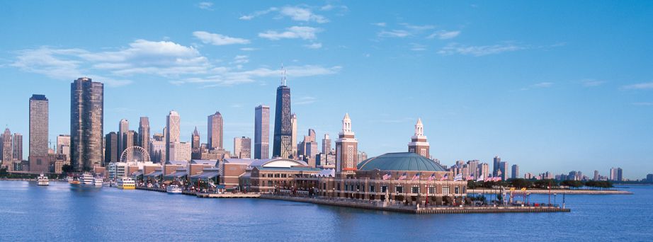
- Navy Pier and Chicago River bridge (300 N, 8 mi / 12.8 km)
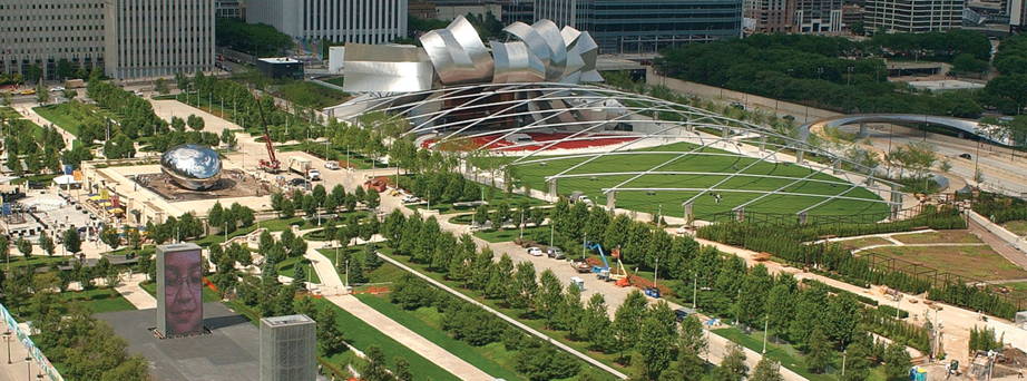
- Monroe Harbor, Buckingham Fountain, and Grant Park (400 S, 9 mi / 14.4 km)
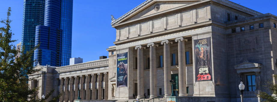
- Museum Campus: Field Museum, Shedd Aquarium, Adler Planetarium (1200 S, 9.7 mi / 15.5 km)
- (Optional detour to Northerly Island Peninsula prairie preserve south of Adler Planetarium)
- Soldier Field (1400 S, 10 mi / 16 km)
- McCormick Place (2200 S, 11 mi / 17.6 km)
- Promontory Point (5500 S, 15.3 mi / 24.5 km)
- Museum of Science and Industry, west of Lake Shore Drive, with access to the Midway Plaisance (site of the 1893 World's Columbian Exposition) and the University of Chicago (5700 S, 15.7 mi / 25.1 km)
- South Shore Cultural Center (7100 S, 18 mi / 29 km)
Some tips for biking the Trail:
Pay Attention and Be Safe! Many people use the Lakefront Trail, particularly on weekends and evenings. They include fast cyclists, slow cyclists, rollerbladers, runners, and walkers. There are also a number of activities going on near the Trail, like beach volleyball, which may result in a ball unexpectedly rolling across the Trail. All of these activities sometimes lead to accidents. Pay attention to what's going on around you and be especially careful of children, who may run across the Trail without warning. Bike at a steady speed and do not make any sudden turns or stops.
Keep to the Right. Stay as far right as possible. Only pass others on the left. It is customary to say "Passing on your left!" in a loud voice just before you pass someone. Make sure to look behind you before you pass someone to make sure no one is about to pass you!
Chicago River Bridge. If you cross the Chicago River between Navy Pier and Monroe Harbor, you must share a bridge with pedestrians. Slow down during this stretch.
Copyright © IROS 2014. All Rights Reserved.


